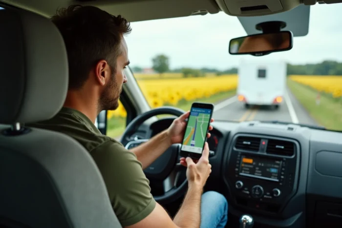
Waze offers three vehicle profiles: car, taxi, and motorcycle. There is no caravan profile, and the app does not manage the height, length, or weight of a trailer. Calculating a route in a caravan with Waze therefore requires using peripheral settings to compensate for this absence, and then cross-referencing the result with other tools.
Waze vs. GPS applications for long vehicles
Before configuring anything, it is essential to measure the gap between Waze and GPS systems that include a size profile. The table below compares the functions directly useful for a caravan trailer.
| Function | Waze | ViaMichelin | Dedicated motorhome GPS |
|---|---|---|---|
| Caravan vehicle profile | No | Partial (weight) | Yes (height, width, weight) |
| Low bridge / narrow passage alert | No (except community reporting) | No | Yes |
| Toll avoidance | Yes | Yes | Yes |
| Low emission zones (LEZ) | Yes (via Crit’Air sticker) | No | Variable |
| Real-time traffic information | Yes (community-based) | Limited | Variable |
| Adding multiple waypoints | Yes | Yes | Yes |
The main advantage of Waze remains real-time community traffic information, powered by millions of users. However, the lack of a vehicle size profile is a real blind spot for any driver towing a caravan.
The most reliable strategy is to prepare the route on an application dedicated to long vehicles, then replicate the waypoints in Waze to benefit from traffic alerts during the journey. This is also detailed in the guide for calculating a caravan route with Waze by combining several tools.
Waze settings to activate before a caravan departure
Several parameters buried in Waze’s menus significantly change the proposed route. Ignoring them is like driving with a GPS configured for a city car.
Crit’Air sticker and low emission zones
The “Ecological stickers” setting in the vehicle details allows Waze to know whether it should alert or modify the route based on low emission zones (LEZ). An incorrectly entered Crit’Air sticker can generate significant detours around urban areas, including for a trailer. The geographical boundaries of LEZs are updated via mapping, and clearing the app’s cache forces the download of the most recent LEZ polygons.
For an older towing vehicle or a utility vehicle, this setting prevents encountering a prohibition sign in the middle of an urban area.
Toll avoidance and road types
In the navigation settings, Waze offers to avoid highways, tolls, and dirt roads. Activating toll avoidance reduces the cost of the journey, but alternative routes are sometimes narrower and winding, which poses a problem with a multi-meter trailer. One must weigh the extra cost of tolls against the risk of an unsuitable route for the size.
The “avoid dirt roads” option should also be checked. Waze can direct users to unpaved paths to shorten a trip, a particularly risky situation with a caravan.
Adding waypoints to secure the route
Waze allows adding intermediate waypoints once the route is launched (via the arrival time bar at the bottom of the screen, then “Add a waypoint”). For a caravan trip, placing waypoints at rest areas or service stations suitable for long vehicles forces the app to take routes compatible with these stopping points.
- Identify service areas accessible to trailers on a dedicated map (Park4Night, motorhome areas) before departure
- Add these areas as waypoints in Waze to guide the route towards wider roads
- Visually check on the Waze map that the route between two waypoints does not take narrow urban roads or pedestrian city centers
Limitations of Waze for caravan navigation and practical tips
Even with all settings activated, Waze remains a car GPS. Three recurring situations pose problems for caravaners.
Low bridges and limited height passages are not automatically reported. Waze relies on community reports, but these are irregular and not always up to date. On an unusual route, there is a risk of driving a trailer under a structure that is too low.
Real-time route recalculations are another trap. Waze may redirect to a secondary road to avoid a traffic jam, without considering that a hairpin turn or a village passage is not suitable for a long vehicle. Disabling alternative route suggestions in the settings limits this risk, at the cost of a sometimes slower journey.
The third point concerns map updates. Temporary works that reduce lane width are not always reflected in Waze’s database. Checking traffic conditions on the highway operator’s website before departure remains a useful precaution.
- Prepare the route on a size profile application (motorhome GPS), then transfer the waypoints to Waze
- Keep a paper road atlas as a backup for areas with weak mobile networks
- Report any obstacles encountered in Waze (low bridge, degraded road) to enrich the community database
- Check the Crit’Air sticker and clear the cache before each long trip to an area with a LEZ
Waze and Android Auto or CarPlay: points of caution for caravans
Projecting Waze onto the dashboard screen via Android Auto or CarPlay improves readability, but a few specific settings deserve attention. The automatic night mode, speed limit sound alerts, and the integrated speedometer display help keep eyes on the road, which is a safety factor when driving with a trailer requires more anticipation.
Turning off notifications unrelated to navigation (sports scores, partner advertisements) reduces distractions. This setting can be found in the app’s settings, under notifications.
Waze remains an effective tool for real-time traffic and avoiding slowdowns. For a caravan route, its use benefits from being combined with a size profile GPS in advance and a manual check of the route. The LEZ settings, avoidance of dirt roads, and adding waypoints to suitable areas transform an application designed for cars into a safer road assistant for trailers.